


Remote sensing and GIS training at Kohima Science College Jotsoma equips students with hands-on skills using ArcGIS Pro and geospatial technologies.
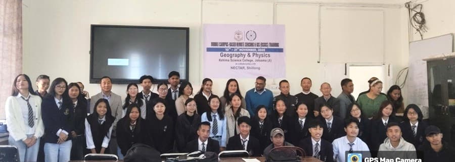
DIMAPUR — The departments of Geography and Physics, Kohima Science College (Autonomous), Jotsoma, in collaboration with the North East Centre for Technology Application and Reach (NECTAR), Shillong, Meghalaya, is conducting a mobile campus-based remote sensing and GIS training from November 10 to the 21st.
The training aims to equip students and faculty members with hands-on skills in the use of ArcGIS Pro, one of the latest and most advanced software tools in the field of remote sensing and geographic information systems (GIS).
The resource persons for the programme are Roshni Rai, project associate, and Fariha Hussain, project fellow, from NECTAR. The sessions are also being supported by local resource persons TK Medoweu, assistant professor, Department of Geography, and Akumenla from Accelcraft.
It was mentioned that through this initiative, participants gain practical exposure to spatial data analysis and geospatial technologies, enhancing their technical competencies and research capabilities.
Also read: P Leonard Aier interacts with students of Eden Higher Secondary School