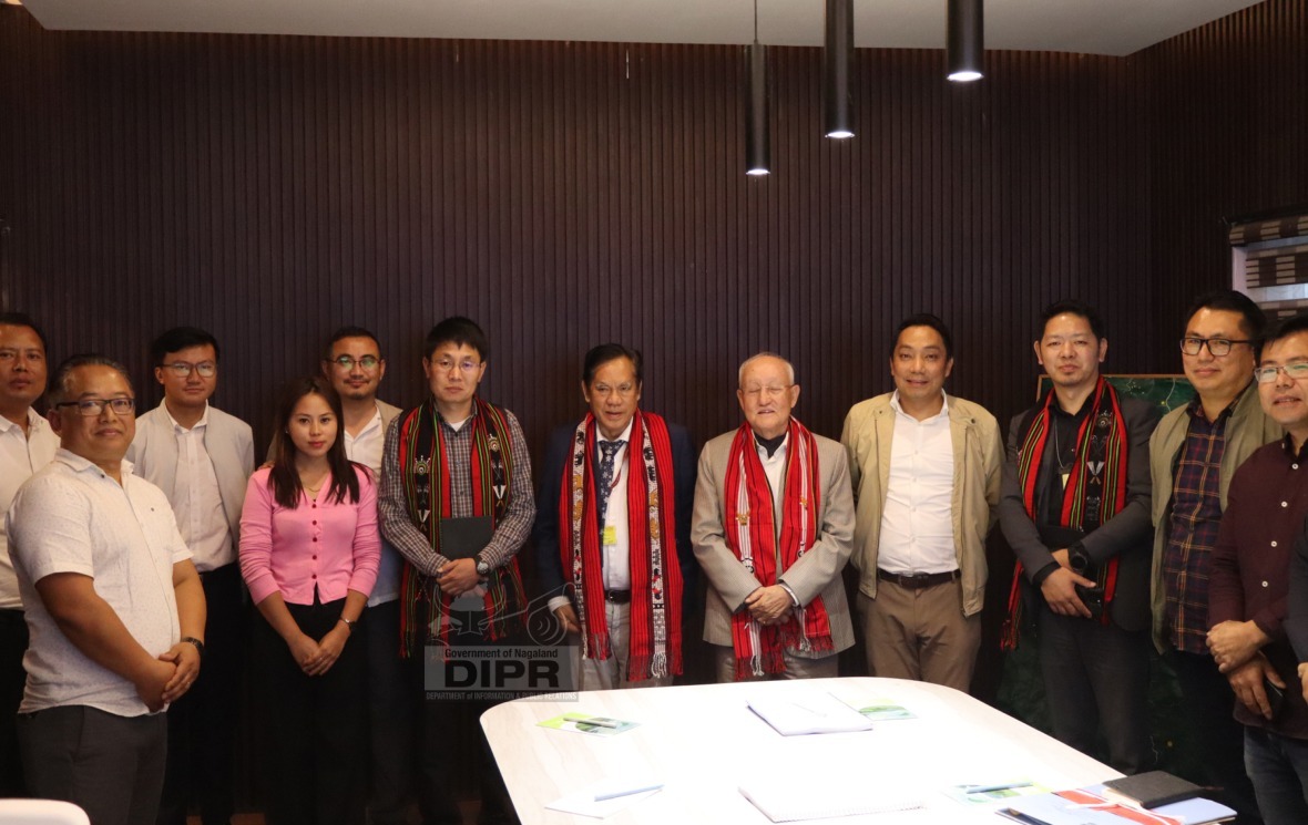
Tenzing Norbu Thongdok and Longki Phangcho, with other
officials at the Nagaland GIS and Remote Sensing Centre, Kohima, on Thursday.
- DIMAPUR — Two
members of the North Eastern Council (NEC), Ministry of Development of the
North Eastern Region (DoNER), Tenzing Norbu Thongdok and Longki Phangcho, along
with other officials, visited the Nagaland GIS and Remote Sensing Centre,
Planning and Transformation department, to review NEC-supported initiatives at
its office in the Secretariat, Kohima, on Thursday.
- The members urged the department to capture and update
spatial data and also to store all development projects under the NEC-funded
schemes, according to a DIPR report. They also advised them to help the
concerned department capture the cadastral mapping, life-saving drugs, and road
connectivity to the health centres in the state.
- Thongdok urged the department to make a partnership with
other states and share their innovations and achievements.
Also read: Chief Secretary urges strict monitoring of office attendance
- The Senior Director of the Nagaland GIS and Remote Sensing
Centre, Mhathung Kithan, highlighted the centre’s activities and the projects
implemented with the line departments to the NEC members.
- Through hands-on demonstrations, the delegation experienced
the project’s key achievements: a geospatial command and facilitation centre
fostering interdepartmental coordination and geospatial data dissemination; a
web-based, centralised geospatial unit operational in 15 stakeholder
departments for data-driven governance; and UAV-acquired high-resolution
imagery of 13 urban stations enhancing monitoring and decision support.