


Southwest Monsoon activity remained subdued in large parts of India on Sunday, with heavy precipitation largely confined to Uttarakhand, Himachal, West Bengal, and the northeastern states.
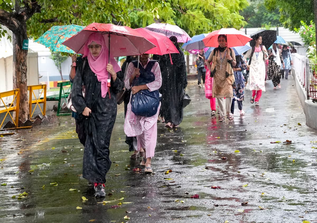
NEW DELHI — Southwest Monsoon activity remained subdued in large parts of India on Sunday, with heavy precipitation largely confined to Uttarakhand, Himachal, West Bengal, and the northeastern states.
The India Meteorological Department, in its daily bulletin on Sunday, predicted ‘isolated heavy to very heavy rainfall’ likely over northeast India, West Bengal, and Bihar during the next 2-3 days and isolated heavy falls over east Uttar Pradesh in 4-5 days.
The IMD also forecast weak rainfall activity in northwest, west central and over south Peninsular India in the next 6-7 days
For Uttarakhand, the IMD issued a red alert for heavy to very heavy rainfall.
On Sunday, heavy rainfall triggered landslides across Uttarakhand, blocking 126 roads, including two national highways, while a wall collapse in Dehradun left a woman injured and forced seven families to evacuate.
Repair work was underway on the Yamunotri Highway, which has been closed for the past three days due to a landslide at Syanachatti.
According to the State Emergency Operation Centre (SEOC), the Rishikesh-Yamunotri National Highway has remained closed for the past three days after a landslide at Syanachatti.
Himachal continued to be under a wet spell as light to moderate rains lashed parts of the state.
Jogindernagar in Mandi district received 60 mm of rain in the past 24 hours since Saturday evening, followed by Manali (45 mm), Sarahan (38.5 mm), Rohru (25 mm), and Shimla (19 mm).
The Cart Road, the lifeline of Shimla city, came to a standstill for a few hours when debris and a tree fell on the road near the Lift opposite the Himachal Pradesh Congress Committee (HPCC) headquarters.
In the national capital, Delhi, the maximum temperatures were in the range of 35-36 degrees Celsius while minimum temperatures were in the range of 26-28 degrees Celsius over the past 24 hours.
The maximum temperatures were above normal (1.6 to 3 degrees Celsius) at isolated places and normal over the remaining parts of Delhi.
The IMD said it expects no change in maximum temperatures over the next 7 days across Delhi.
Rajasthan remained in the grip of a dry spell, pushing temperatures across the state.
Sri Ganganagar was the hottest place in the state with a maximum temperature of 41.7 degrees Celsius, followed by Bikaner at 39.3, Barmer and Jaisalmer each at 39 and Churu at 37.4 degrees Celsius.
The IMD said that most parts of the state are likely to witness weak monsoon conditions over the next week.
Also read: 15 people, including Indian tourists, feared dead in Vietnam boat capsize incident — local media
The weather office said it expects dry weather in eastern Rajasthan for the next five to six days.
However, parts of the Shekhawati region, Jaipur and Bharatpur divisions may receive light rainfall between July 13 and 15, it said.
The IMD also warned of strong dust-laden winds in western Rajasthan.
"There is a strong possibility of dust storms with wind speeds of 30-40 kmph in parts of Jodhpur and Bikaner divisions during the next two to three days," it said.
West Bengal also recorded heavy rainfall across the state.
The IMD said an active monsoon will bring heavy rainfall over some districts of West Bengal till July 14.
The sub-Himalayan districts of the state, which have been lashed by torrential rain for the past few days, are also likely to experience heavy precipitation till July 14, it said in a bulletin.
The southern districts of Bankura, Birbhum, Purba and Paschim Bardhaman, Nadia and Murshidabad could receive heavy rainfall till July 14, while light to moderate rain is likely in the other districts of the region, it said.