[caption id="attachment_136834" align="alignleft" width="550"]
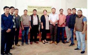 Nounesenuo Iralu, centre, seen here with members of PWD colony at the launch of GIS mapping at Kohima on September 4.
[/caption]
Our Correspondent
Kohima, Sep. 4 (EMN): Kohima town’s PWD colony, ward-11, became the fourth “smart colony” of Nagaland after a successful Geographic Information System (GIS) mapping of the colony. A programme marking the event was conducted this evening at the area’s Panchayat hall.
Senior analyst Nounesenuo Iralu said in her address at the event that in a state like Nagaland, particularly in an unplanned and unorganized town like proper Kohima, it was very difficult and time-consuming to find the exact location.
She said the Nagaland address aims to provide information about infrastructure. It also aims to cover the entire state to make retrieving location for residential and commercial building possible, the gathering was informed.
Further, Iralu informed that in the month of September, GIS mobile apps will be launched for the benefit of the state’s business establishments, and emergency services and communication.
Ten more colonies of Kohima town are also in the process of becoming ‘smart’ colonies with GIS mapping, she informed.
During an introduction and demonstration of GIS mapping of the colony legal secretary for the PWDYO, Aleno Sale said that around 30 volunteers from three sectors had successfully mapped and uploaded the full database of addresses of residents in Nagaland address portal. She encouraged the other colonies to take up the initiative and implement it.
It was informed that the Public Works department has the highest house address mapped out: 1, 420 so far.
Inclusive of all three smart colonies, 4815 addresses were successfully mapped and uploaded to the database.
Earlier, Officers Hill colony, Dzüvürü (Porterlane) colony, Merhülietsa (paramedical) colony were declared ‘smart’ colonies.